OpenStreetMap does not just contain data about streets, but it also has nautical data, “seamarks”. OpenSeaMap is one visualization of that data. My personal favorite on mobile devices involves OsmAnd+.
Installing OsmAnd+
If you do not have OsmAnd+ installed yet, see this post for instructions
Configuring the nautical map
Once having OsmAnd+ installed, we need to download and configure the map to show the nautical features we are interested in.
- Open OsmAnd. You will be asked if you want to download map files for the region you are currently in. If this is the region you are interested in, then do so. Otherwise “skip download”.
- Go to the side menu in the bottom left -> Plugins and enable “Nautical map view”
- Go to the area that you are interested in on the map and click “download”. This will show up if you are zoomed in enough.
- You can also go to the side menu -> “Maps & Resources” and select the region in the list.
- In the “Maps & Resources” window scroll down to “Nautical maps” and download “World seamarks”. This downloads data like buoys and lighthouses.
- If you like to have depth contours or points, you can download those in the same window too.
- Now to enable the nautical map view
- Go to the side menu -> “Configure map” or click the globe icon in the top left
- Scroll all the way down to “Map rendering” -> “Map style” and select “Nautical”.
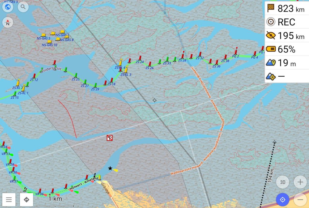
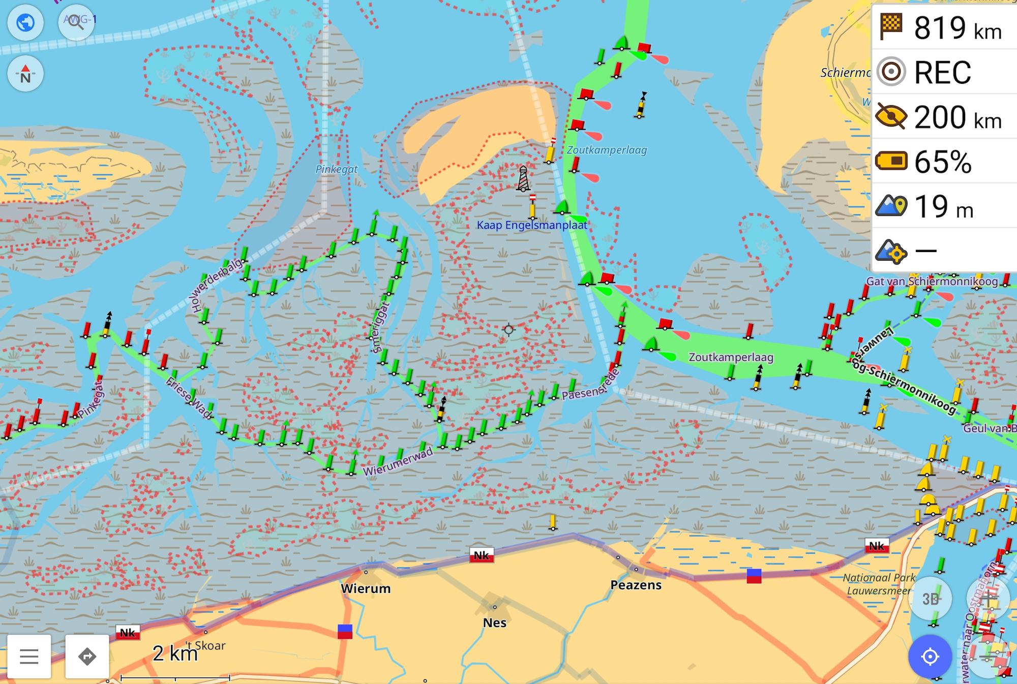
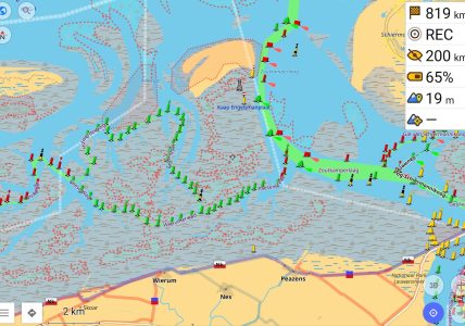
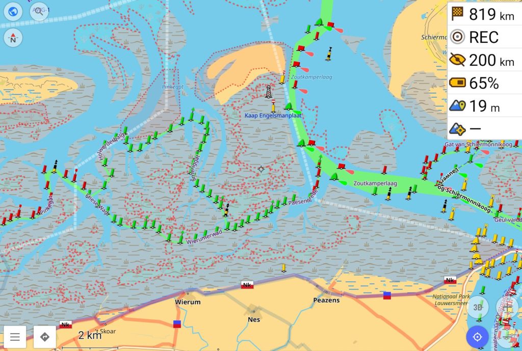
You can now enjoy the nautical map view of OpenStreetMap, showing all the relevant features. One of the objects shown on the map that is very relevant to mudflat walking are mussel reefs. These have not been drawn in much outside of the Friese Zeegat (it is a lot of work and hadn’t been done at all until 2024). They are shown as areas with a red dashed outline.
Map updates
It is important to have up to date maps, especially at sea. We can enable regular updates of the maps:
- Go to the side menu -> “Maps & Resources” -> “Updates” -> “Live updates”. Turn on the OsmAnd Live option at the top in the grey bar and turn on the live updates for the map you just downloaded.
- In the same live updates screen, tap the map name and change the update frequency to “Daily” and enable “Only download on Wi-Fi” to save background data usage. This will make sure that your maps stays up to date with the changes that the mappers at OpenStreetMap work on. Their goal is to update the map to reflect changes in the Wadden Sea as quickly as possible. Because it changes every year and it’s a large area, there is no guarantee that everything is up to date though. Use at your own discretion!
Trip recording
For this you need to install the “Trip recording” plugin in the same manner as you installed the “Nautical view” plugin.
- To record a GPS track, tap the “REC” button in the top right of the map view.
- If it asks about Battery optimization, press “Battery optimization settings” which brings you to your phone settings. Select the OsmAnd app in the list and disable the battery optimization. If you do not do this, the GPS track most likely will not record properly as soon as you turn off the screen of your device.
- Press “start” to begin a track and “stop” to finish it.