Satellite & aerial imagery in OsmAnd+
OsmAnd+ is a mobile web app with many features. I have written before about how to set it up for wintersports and navigation at sea …
OsmAnd+ is a mobile web app with many features. I have written before about how to set it up for wintersports and navigation at sea …
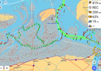
OpenStreetMap does not just contain data about streets, but it also has nautical data, “seamarks”. OpenSeaMap is one visualization of that data. My personal favorite …
OsmAnd+ is the full version of OsmAnd: the former is a paid app on the Google Play Store, the latter is free but is limited …
It’s the time of the year for fun in the snow! Many people in the Netherlands go on wintersport vacation and though it might be …